Local
Could a weekend storm finally bring meaningful snow to Colorado’s northwestern resorts?
A Roundtable is a way to meet new people and discuss this article in person at a local coffee shop or other venue.
Roundtables are designed for groups of four, with a shared subject and room for everyone to speak. Come for discussion, with no dating expectation.
Source: Eagle Valley Enterprise
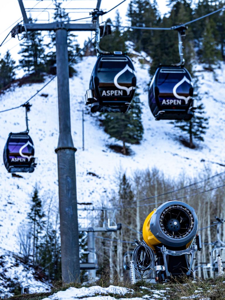
Following weeks of mediocre snow across Colorado’s northcentral mountains, an upcoming two-day storm could bring up to 10 inches of accumulation to some ski resorts. Tuesday night’s storm landed slightly west of Colorado, bringing a light burst of snow — roughly 1 to 3 inches — to several northern and central mountains, while others received ample rainfall. The next storm, expected to hit on Friday, Nov. 20, could bring more favorable conditions for snow across northwestern peaks, resulting in a few inches of snow for mountains farther west, according to a Wednesday OpenSnow forecast. In towns such as Vail, Steamboat Springs and Aspen, snow could begin falling as early as Thursday night, accompanied by wind gusts around 35 miles per hour. Snow showers will likely intensify by Friday, according to National Weather Service forecasts. While most mountain towns are forecast to see highs in the mid-30s to low-40s, mountain peaks can expect stronger snow showers with highs in the 20s.
This excerpt comes from the named source. Read the original for the full reporting.
Read the original at Eagle Valley Enterprise