Local
Dangerous storm incoming: NWS puts swath of California on alert from tomorrow for heavy snow and rain
A Roundtable is a way to meet new people and discuss this article in person at a local coffee shop or other venue.
Roundtables are designed for groups of four, with a shared subject and room for everyone to speak. Come for discussion, with no dating expectation.
Source: Meteored United States
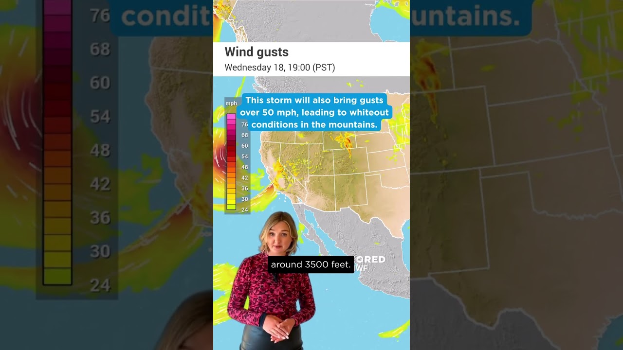
The NWS is warning that travel may be impossible through the California mountains this week as winter storm conditions take hold. People are being urged to prepare accordingly and change travel plans. A dangerous storm system is headed straight for the West Coast this week, bringing wintry weather conditions along with it. Heavy snow and gusting winds are the main concerns, particularly through the Sierras, Cascades and areas of the Coastal Ranges. At the highest elevations, areas could see over 4 feet of snowfall, with some areas seeing 1 to 2 inches fall per hour. Meanwhile, lower areas are likely to see heavy rainfall. With this in mind, the NWS has noted this storm is likely to have major impacts. Pacific low blasts into the coast midweek Currently, a surface low is sitting in the Gulf of Alaska, with a large front stretching south from it. This frontal zone will continue east toward the West Coast into tomorrow, when another low looks to develop along it.
This excerpt comes from the named source. Read the original for the full reporting.
Read the original at Meteored United States