Meet In CommonNewsRSS feeds

Local

First Alert Weather Day: Wind, heavy rain and snow could complicate Monday travel

A Roundtable is a way to meet new people and discuss this article in person at a local coffee shop or other venue.

Roundtables are designed for groups of four, with a shared subject and room for everyone to speak. Come for discussion, with no dating expectation.

Source: KOTA Territory News

RAPID CITY, S.D. (KOTA) - Damaging wind gusts, areas of dense fog, heavy rain and possible snow could create difficult travel conditions across parts of KOTA Territory on Monday. The First Alert Weather Team has declared Monday, Nov. 2, a First Alert Weather Day for the potential for wind gusts of 60 mph or higher in portions of western South Dakota. The strongest winds are expected near and east of the Black Hills, with gusts potentially reaching 65 mph in some locations. The storm also could bring more than an inch of rain to Rapid City, locally higher totals along the northern Black Hills slopes and parts of the western South Dakota plains, and accumulating snow in the higher elevations. Fog could complicate the morning drive Fog could again reduce visibility along portions of Interstate 90 and other roads in western South Dakota and northeastern Wyoming early Monday.

This excerpt comes from the named source. Read the original for the full reporting.

Read the original at KOTA Territory News

Featured places to meet in Rapid City, SD

Explore these places and arrange a conversation through ThinkMatch.

City guide for Rapid City, SD

Related coverage

CBS News · Lauderhill, FL

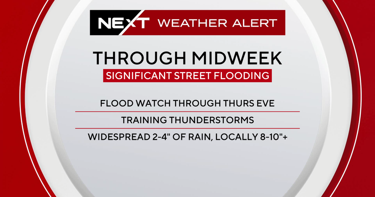
NEXT Weather Alert issued for South Florida, with dangerous flash flooding across southern Broward

The CBS News Miami NEXT Weather team has issued a NEXT Weather Alert for rounds of heavy rain that could cause street flooding along South Florida's east coast from Tuesday afternoon through Wednesday. A dangerous flash-flooding situation unfolded across southern Broward County on Tuesday night, with two Flash Flood Warnings upgraded to carry a "considerable" damage threat designation as torrential downpours inundated communities from Hollywood to Lauderhill. According to the NEXT Weather Team, radar estimates indicate 6 to 8 inches of rain have already fallen across the area, with at least another 2 to 4 inches possible. Rainfall rates have reached 3 to 5 inches per hour at times. The communities most heavily impacted include Hollywood, Fort Lauderdale, Sunrise, and Lauderhill. A "considerable" damage threat tag marks a serious escalation from a standard Flash Flood Warning and is reserved for significant, potentially life-threatening flood events.

Community Poll

Research announcements should give uncertainty as much attention as promising findings.

Share your view, then see how readers voted. No sign-in required. This poll is shared across stories.

Do you agree or disagree?

Choose one answer

Common Quandary

A Common Quandary to discuss

Another conversation to explore, separate from this news story.

Your boss offers lessons to make you sound “more professional.” Do you take them?

Clients sometimes ask an employee to repeat themselves during calls. Their manager offers company-paid speech coaching framed as clearer communication, but the employee experiences the request as pressure to hide part of their identity.

When does improving communication become demanding conformity?

Explore this quandary