Local
Is Houston at risk for flash flooding? What to know about Sunday's storms
Meet in Common connects news with real conversations. Use ThinkMatch to arrange a Roundtable and meet people to discuss this story.
Roundtables are designed for groups of four, with a shared subject and room for everyone to speak. Come for discussion, with no dating expectation.
Source: Meteored United States
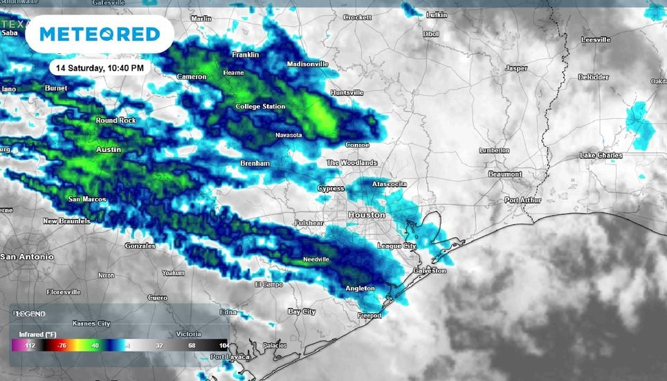
Houston and Southeast Texas are bracing for a wet and potentially stormy Sunday as a developing weather system moves across the region, bringing periods of heavy rain, and the potential for isolated severe weather. A disturbance moving out of the Four Corners region has helped trigger the development of low pressure near the Texas-Oklahoma Panhandles. As this system tracks southeastward, it will draw warm, humid air into parts of Southeast Texas, creating conditions favorable for thunderstorms. Heavy rain and localized flooding concerns Areas generally west of Interstate 45 and south of Interstate 10 are expected to be in the warm sector of the cold front, although it could extend farther north into Harris County. This distinction is important because it will determine which areas have the greatest potential for stronger storms.
This excerpt comes from the named source. Read the original for the full reporting.
Read the original at Meteored United States