Local
Multiple storms could bring several rounds of snow to Tahoe this weekend
Meet in Common connects news with real conversations. Use ThinkMatch to arrange a Roundtable and meet people to discuss this story.
Source: Sierra Sun
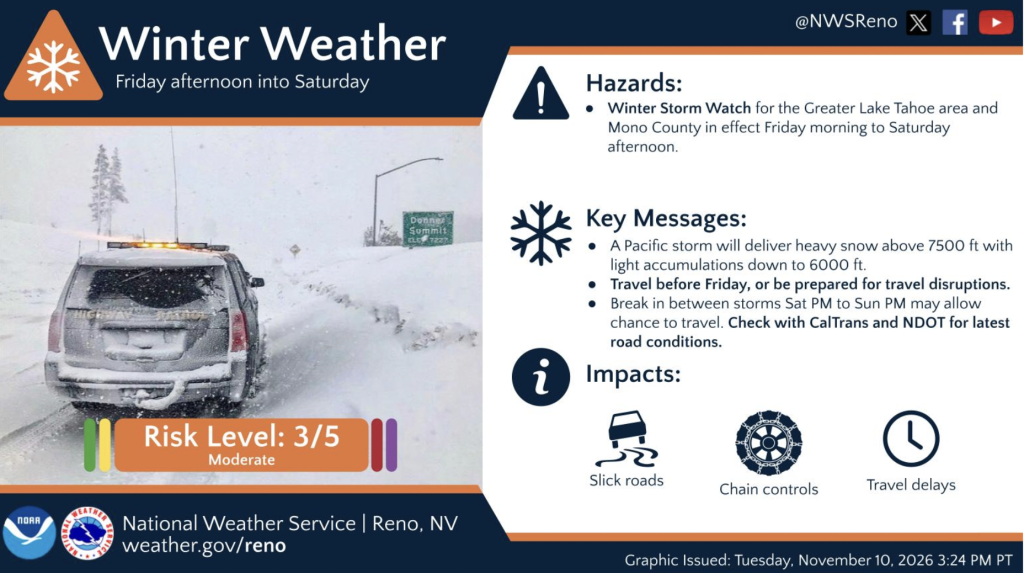
TRUCKEE, Calif. — After a couple of weeks of dry, sunny weather, winter is ready to make a comeback in the Tahoe region, with snow expected to move in Friday and bring potentially challenging travel conditions through the Sierra. The National Weather Service has issued winter storm watches for the Tahoe Basin and Mono County from Friday afternoon through Saturday morning. The heaviest snowfall is expected late Friday night into early Saturday morning, when rates could reach more than 2 inches per hour. Foothill communities above 6,000 feet could also wake up to a light coating of snow by Saturday morning, according to the weather service. According to OpenSnow forecaster Bryan Allegretto, snow levels are initially expected around 7,000 feet before dropping to between 5,000 and 5,500 feet Friday night into Saturday morning. “That means we could see heavy snow over Donner Pass with chain controls, low visibility, and slow travel,” Allegretto wrote on OpenSnow.
This excerpt comes from the named source. Read the original for the full reporting.
Read the original at Sierra Sun