Local
Several rounds of snow are headed to Colorado’s mountains, beginning Saturday
Meet in Common connects news with real conversations. Use ThinkMatch to arrange a Roundtable and meet people to discuss this story.
Source: Snowmass Village Sun
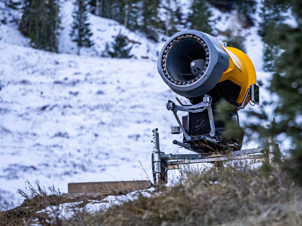
Following several days of warm and dry weather, the upcoming weekend marks the start of an active climate pattern that could bring several rounds of snow to Colorado’s northcentral mountains. Joel Gratz, founding meteorologist with OpenSnow, said the pattern will manifest in three upcoming storms. The first will arrive on Saturday, Nov. 14, bringing snow showers to the Western Slope mountains through Sunday morning. Most of the snow is expected to fall in the southern mountains, leaving the central and northern mountains with roughly 1-6 inches of accumulated snow by the end of the weekend. Mountains farther to the north and east will likely see lower amounts. “A caveat is that a few models show decent northwest flow and continuing snow showers on Sunday morning in the northern mountains, so these areas may squeak out a bit more snow,” Gratz wrote in the report.
This excerpt comes from the named source. Read the original for the full reporting.
Read the original at Snowmass Village Sun