Local
Tracking environmental changes across Block Island
Meet in Common connects news with real conversations. Use ThinkMatch to arrange a Roundtable and meet people to discuss this story.
Roundtables are designed for groups of four, with a shared subject and room for everyone to speak. Come for discussion, with no dating expectation.
Source: Block Island Times
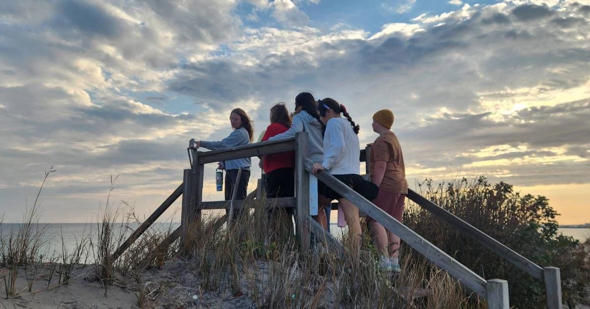
Researchers and community partners are using a growing number of technologies to track changes across Block Island's coasts, marsh and dune ecosystems, and flooding conditions. Each project contributes a piece of a larger puzzle, helping build a long-term record that can support future planning, research, and resilience efforts. One of the newest tools available is a network of real-time water level sensors installed by Brown University's Network for Environmental Sensing and Technology (NEST). This past spring, Brown researcher Sol Cooperdock installed three sensors on Block Island, including one in the Great Salt Pond and two over land in locations prone to flooding. The Nature Conservancy coordinated the installation effort, working with Brown University and the town to help identify sites, facilitate access, and support deployment of the sensors across the island.
This excerpt comes from the named source. Read the original for the full reporting.
Read the original at Block Island Times